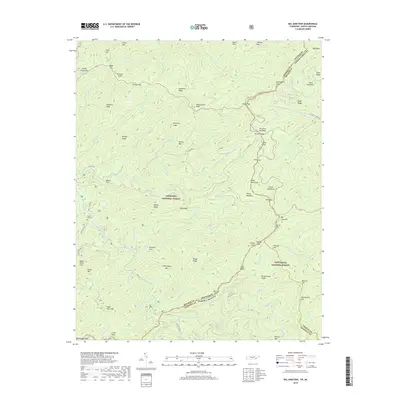
2019 Map of Big Junction
USGS Topo · Published 2019About this map
The Unicoi Mountains define this high-elevation stretch of the southern Appalachians where the Tennessee-North Carolina state line follows the winding crest. This area, largely contained within the Cherokee National Forest and Nantahala National Forest, is dominated by steep leads and gaps that have historically isolated its few interior settlements. The Tellico River and its numerous tributaries, including Sycamore Cr and Rough Ridge Cr, carve deep drainages through the landscape. Human presence is most evident near the Green Cove Cem and along established routes like River Rd. The convergence of county lines for Monroe, Graham, and Cherokee counties near Big Junction highlights the importance of these mountain peaks as historical and political landmarks in a region defined more by its terrain than by urban development.
Find a feature on this map
104 named features on this map. Tap any name to fly to it.
Don’t see what you’re looking for? This feature index may not catch every label — zoom into the map to look around manually.
Map Details
Editions of this 2019 Big Junction Map
This is the sole edition of this map. No revisions or reprints were ever made.
Other maps of this area

1893 · Murphy
USGS Topo · 1:125,000

1914 · Murphy
USGS Topo · 1:125,000

1927 · Big Junction
USGS Topo · 1:24,000

1933 · Haw Knob
USGS Topo · 1:48,000

1933 · Whiteoak Flats
USGS Topo · 1:24,000

1933 · Bald River Falls
USGS Topo · 1:24,000

1933 · Rafter
USGS Topo · 1:24,000

1934 · McDaniel Bald
USGS Topo · 1:24,000

1934 · Unaka
USGS Topo · 1:24,000

1934 · Murphy
USGS Topo · 1:48,000