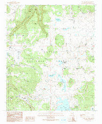
1991 Map of Big Lake North
USGS Topo · Published 1991About this map
The high country of the Apache National Forest is defined here by the headwaters of two major river systems: the Little Colorado River and the Black River. This 1991 provisional map records a landscape of high-altitude lakes and springs, including the large Crescent Lake and Basin Lake. The presence of Thompson Ranch and seasonal habitations like Voigt Cabin and Phelps Cabin reflect the area's long-standing use for ranching and summer shelter.
Find a feature on this map
57 named features on this map. Tap any name to fly to it.
Don’t see what you’re looking for? This feature index may not catch every label — zoom into the map to look around manually.
Map Details
Editions of this 1991 Big Lake North Map
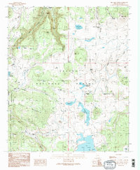
2 editions found
Other maps of this area

1886 · St Johns
USGS Topo · 1:250,000

1892 · St Johns
USGS Topo · 1:250,000

1922 · Nutrioso
USGS Topo · 1:125,000

1954 · Clifton
USGS Topo · 1:250,000

1954 · Saint Johns
USGS Topo · 1:250,000

1957 · Clifton
USGS Topo · 1:250,000

1957 · Saint Johns
USGS Topo · 1:250,000

1958 · Clifton
USGS Topo · 1:250,000

1958 · Saint Johns
USGS Topo · 1:250,000

1958 · Big Lake
USGS Topo · 1:62,500