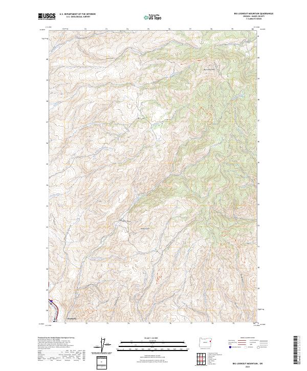
2023 Map of Big Lookout Mountain
USGS Topo · Published 2023About this map
The settlement of Weatherby sits at the southwestern edge of this landscape, positioned where the Union Pacific Railroad cuts through the steep drainage. This area of Baker County is defined by its complex network of gulches and creeks that descend from the high points of Big Lookout Mtn. The naming conventions throughout the terrain, such as Gold Cliff Gulch, Quartz Gulch, and Raster Gulch, reflect the historical prospecting and resource extraction that shaped this part of Oregon.
Find a feature on this map
42 named features on this map. Tap any name to fly to it.
Don’t see what you’re looking for? This feature index may not catch every label — zoom into the map to look around manually.
Map Details
Editions of this 2023 Big Lookout Mountain Map
This is the sole edition of this map. No revisions or reprints were ever made.
Other maps of this area

1915 · Pine
USGS Topo · 1:125,000

1951 · Huntington
USGS Topo · 1:62,500

1952 · Olds Ferry NW
USGS Topo · 1:24,000

1952 · Olds Ferry
USGS Topo · 1:62,500

1955 · Baker
USGS Topo · 1:250,000

1957 · Durkee
USGS Topo · 1:62,500

1957 · Mineral
USGS Topo · 1:62,500

1959 · Baker
USGS Topo · 1:250,000

1980 · Brogan
USGS Topo · 1:100,000

1981 · Baker
USGS Topo · 1:100,000