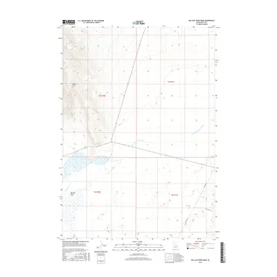
2017 Map of Big Lost River Sinks
USGS Topo · Published 2017About this map
The Lemhi Range provides a stark topographic contrast to the low-lying plains where the Big Lost River terminates in this 2017 survey. This unique hydrological landscape is centered on the Big Lost River Sinks, a series of ephemeral basins where surface waters disappear into the Snake River Plain aquifer. The arid nature of the region is further evidenced by the Dry Channel Big Lost River, which illustrates the erratic and seasonal flow patterns typical of this part of Idaho. Modern infrastructure like Lincoln Blvd and Cinder Butte Rd cuts across the vast open sections of T6N and T5N, providing access to this desert terrain where the river's journey ends in the sand and sagebrush.
Find a feature on this map
10 named features on this map. Tap any name to fly to it.
Don’t see what you’re looking for? This feature index may not catch every label — zoom into the map to look around manually.
Map Details
Editions of this 2017 Big Lost River Sinks Map
This is the sole edition of this map. No revisions or reprints were ever made.
Other maps of this area

1955 · Idaho Falls
USGS Topo · 1:250,000

1958 · Idaho Falls
USGS Topo · 1:250,000

1969 · Little Lost River Sinks
USGS Topo · 1:24,000

1969 · Circular Butte
USGS Topo · 1:24,000

1969 · Circular Butte NW
USGS Topo · 1:24,000

1969 · Richard Butte
USGS Topo · 1:24,000

1969 · Tyler Peak
USGS Topo · 1:24,000

1969 · Big Lost River Sinks
USGS Topo · 1:24,000

1973 · Little Butte NW
USGS Topo · 1:24,000

1973 · Circular Butte 3 NE
USGS Topo · 1:24,000