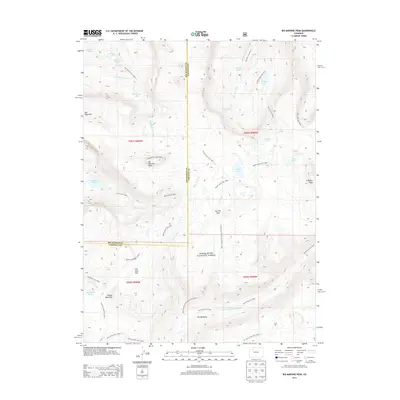
2013 Map of Big Marvine Peak
USGS Topo · Published 2013About this map
Big Marvine Peak and the high alpine plateau of The Flat Tops define this section of the White River National Forest along the Garfield and Rio Blanco county line. The landscape is characterized by a dense network of glacial lakes and headwater streams, including the notable Marvine Lakes, Mary Loch Lake, and Big Fish Lake. This 2013 survey provides a detailed look at the trail systems used for access before and after the turn of the 21st century, such as the Big Marvine Trail 1822A and the Doe Creekstock Driveway Trail 2259.1. The presence of broad high-altitude clearings like Lost Solar Park and The Meadows suggests a history of seasonal grazing and wildlife habitat, while steep peaks like Rat Mountain and Trappers Peak frame the deep drainage of the South Fork White River.
Find a feature on this map
45 named features on this map. Tap any name to fly to it.
Don’t see what you’re looking for? This feature index may not catch every label — zoom into the map to look around manually.
Map Details
Editions of this 2013 Big Marvine Peak Map
This is the sole edition of this map. No revisions or reprints were ever made.
Other maps of this area

1927 · Glenwood Springs
USGS Topo · 1:125,000

1930 · Glenwood Springs
USGS Topo · 1:125,000

1954 · Craig
USGS Topo · 1:250,000

1957 · Craig
USGS Topo · 1:250,000

1957 · Leadville
USGS Topo · 1:250,000

1958 · Craig
USGS Topo · 1:250,000

1959 · Leadville
USGS Topo · 1:250,000

1960 · Leadville
USGS Topo · 1:250,000

1960 · Craig
USGS Topo · 1:250,000

1962 · Leadville
USGS Topo · 1:250,000