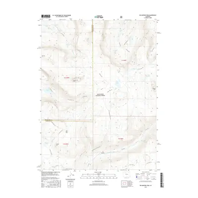
2016 Map of Big Marvine Peak
USGS Topo · Published 2016About this map
White River National Forest defines this high-elevation landscape, where the border between Rio Blanco and Garfield counties bisects the Flat Tops area. The terrain is characterized by a dense network of glacial lakes and alpine drainages, including the S Fork White River and the high-altitude Marvine Lakes. Dominant peaks like Big Marvine Peak and Trappers Peak tower over a wilderness transition from deep valleys to expansive plateaus.
Find a feature on this map
44 named features on this map. Tap any name to fly to it.
Don’t see what you’re looking for? This feature index may not catch every label — zoom into the map to look around manually.
Map Details
Editions of this 2016 Big Marvine Peak Map
This is the sole edition of this map. No revisions or reprints were ever made.
Other maps of this area

1927 · Glenwood Springs
USGS Topo · 1:125,000

1930 · Glenwood Springs
USGS Topo · 1:125,000

1954 · Craig
USGS Topo · 1:250,000

1957 · Craig
USGS Topo · 1:250,000

1957 · Leadville
USGS Topo · 1:250,000

1958 · Craig
USGS Topo · 1:250,000

1959 · Leadville
USGS Topo · 1:250,000

1960 · Leadville
USGS Topo · 1:250,000

1960 · Craig
USGS Topo · 1:250,000

1962 · Leadville
USGS Topo · 1:250,000