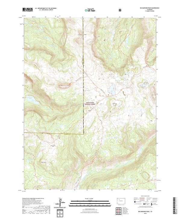
2022 Map of Big Marvine Peak
USGS Topo · Published 2022About this map
The high backcountry of the White River National Forest defines this terrain, where the headwaters of the South Fork White River carve through the high plateaus of Garfield and Rio Blanco counties. The landscape is dominated by volcanic remnants and alpine basins, anchored by the massive Big Marvine Peak and the distinctive Little Marvine Peaks to the north. This 2022 survey captures a remote wilderness network of trails that trace historical migration and drainage patterns, including the East Marvine Trl and Oyster Lake Trl. High-altitude lakes such as Mary Loch Lake, Gwendolen Lake, and Florence Lake dot the glacial cirques, while The Meadows provides a broad opening along the river valley. The map meticulously documents the transition from the high ridges of Timber Mtn down into protected basins like Lost Solar Park, illustrating the complex hydrology of Marvine Creek and its various tributaries.
Find a feature on this map
45 named features on this map. Tap any name to fly to it.
Don’t see what you’re looking for? This feature index may not catch every label — zoom into the map to look around manually.
Map Details
Editions of this 2022 Big Marvine Peak Map
This is the sole edition of this map. No revisions or reprints were ever made.
Other maps of this area

1927 · Glenwood Springs
USGS Topo · 1:125,000

1930 · Glenwood Springs
USGS Topo · 1:125,000

1954 · Craig
USGS Topo · 1:250,000

1957 · Craig
USGS Topo · 1:250,000

1957 · Leadville
USGS Topo · 1:250,000

1958 · Craig
USGS Topo · 1:250,000

1959 · Leadville
USGS Topo · 1:250,000

1960 · Leadville
USGS Topo · 1:250,000

1960 · Craig
USGS Topo · 1:250,000

1962 · Leadville
USGS Topo · 1:250,000