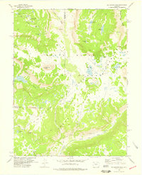
1977 Map of Big Marvine Peak
USGS Topo · Published 1978About this map
White River National Forest and the Flat Tops Wilderness define this high-altitude landscape along the border of Rio Blanco and Garfield counties. The topography is dominated by massive basalt-capped plateaus and glacial features, notably Big Marvine Peak and the Little Marvine Peaks. This environment is characterized by a high density of alpine water bodies, from the prominent Marvine Lakes and Big Fish Lake to smaller basins like Mary Loch Lake, Gwendolen Lake, and Star Lake. Drainage patterns are dictated by the South Fork White River, which receives water from numerous tributaries including Marvine Creek and Doe Creek. The lack of road infrastructure is evident, with the area accessible only by a network of pack trails that connect landmarks like Rat Mountain, Timber Mtn, and Trappers Peak. This 1970s survey captures the wilderness in a period of transition as management boundaries were being established and refined.
Find a feature on this map
29 named features on this map. Tap any name to fly to it.
Don’t see what you’re looking for? This feature index may not catch every label — zoom into the map to look around manually.
Map Details
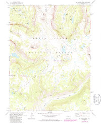
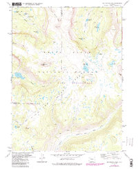
Editions of this 1977 Big Marvine Peak Map
3 editions found
Other maps of this area

1927 · Glenwood Springs
USGS Topo · 1:125,000

1930 · Glenwood Springs
USGS Topo · 1:125,000

1954 · Craig
USGS Topo · 1:250,000

1957 · Craig
USGS Topo · 1:250,000

1957 · Leadville
USGS Topo · 1:250,000

1958 · Craig
USGS Topo · 1:250,000

1959 · Leadville
USGS Topo · 1:250,000

1960 · Leadville
USGS Topo · 1:250,000

1960 · Craig
USGS Topo · 1:250,000

1962 · Leadville
USGS Topo · 1:250,000