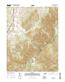
2016 Map of Big Meadows
USGS Topo · Published 2016About this map
Page Valley and the high ridges of the Blue Ridge mountain range form a stark geographical divide in this 2016 survey. The western half of the map reveals a lower-elevation landscape of rural settlements and family cemeteries, including Blaineville, Marksville, and the Mount Carmel Baptist Church Cem. Moving eastward, the terrain rises sharply toward the summits of the Shenandoah National Park, where landmarks like Hawksbill and Franklin Cliffs overlook the valley floor.
Find a feature on this map
150 named features on this map. Tap any name to fly to it.
Don’t see what you’re looking for? This feature index may not catch every label — zoom into the map to look around manually.
Map Details
Editions of this 2016 Big Meadows Map
This is the sole edition of this map. No revisions or reprints were ever made.
Other maps of this area

1892 · Woodstock
USGS Topo · 1:125,000

1892 · Gordonsville
USGS Topo · 1:125,000

1892 · Harrisonburg
USGS Topo · 1:125,000

1893 · Luray
USGS Topo · 1:125,000

1905 · Luray
USGS Topo · 1:125,000

1929 · Stony Man
USGS Topo · 1:48,000

1930 · Madison
USGS Topo · 1:48,000

1933 · Stony Man
USGS Topo · 1:62,500

1933 · Madison
USGS Topo · 1:62,500

1937 · Elkton
USGS Topo · 1:62,500