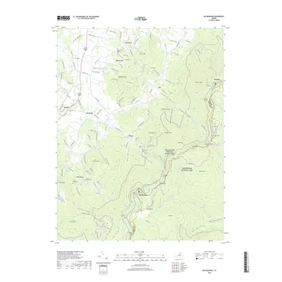
2019 Map of Big Meadows
USGS Topo · Published 2019About this map
Page Valley opens into the high peaks of the Blue Ridge, where the border of Shenandoah National Park meets established valley communities like Stanley and Marksville. The transition from the valley floor to the ridgeline is marked by numerous family-named landmarks and hollows, such as Jordan Hollow and Mink Hollow, which provide a detailed look at the geographic orientation of local settlements. Near Blaineville, the Marshall Cem and Mount Carmel Baptist Church serve as vital points of interest for genealogical research, anchoring the landscape's social history.
Find a feature on this map
155 named features on this map. Tap any name to fly to it.
Don’t see what you’re looking for? This feature index may not catch every label — zoom into the map to look around manually.
Map Details
Editions of this 2019 Big Meadows Map
This is the sole edition of this map. No revisions or reprints were ever made.
Other maps of this area

1892 · Woodstock
USGS Topo · 1:125,000

1892 · Gordonsville
USGS Topo · 1:125,000

1892 · Harrisonburg
USGS Topo · 1:125,000

1893 · Luray
USGS Topo · 1:125,000

1905 · Luray
USGS Topo · 1:125,000

1929 · Stony Man
USGS Topo · 1:48,000

1930 · Madison
USGS Topo · 1:48,000

1933 · Stony Man
USGS Topo · 1:62,500

1933 · Madison
USGS Topo · 1:62,500

1937 · Elkton
USGS Topo · 1:62,500