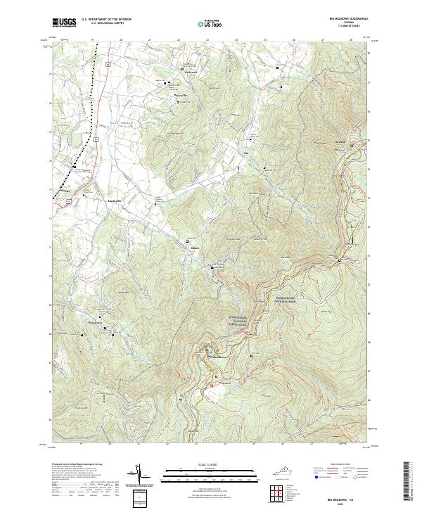
2022 Map of Big Meadows
USGS Topo · Published 2022About this map
Shenandoah National Park dominates the eastern half of this terrain, where the Blue Ridge mountains descend into the Page Valley. The landscape is defined by the high-elevation meadows and peaks of the central district, featuring iconic overlooks like Hawksbill and Pollock Knob. An extensive network of trails, including the Appalachian National Scenic Trail and the Skyland-Big Meadows Horse Trl, connects historic recreation areas at Skyland and Big Meadows.
Find a feature on this map
162 named features on this map. Tap any name to fly to it.
Don’t see what you’re looking for? This feature index may not catch every label — zoom into the map to look around manually.
Map Details
Editions of this 2022 Big Meadows Map
This is the sole edition of this map. No revisions or reprints were ever made.
Other maps of this area

1892 · Woodstock
USGS Topo · 1:125,000

1892 · Gordonsville
USGS Topo · 1:125,000

1892 · Harrisonburg
USGS Topo · 1:125,000

1893 · Luray
USGS Topo · 1:125,000

1905 · Luray
USGS Topo · 1:125,000

1929 · Stony Man
USGS Topo · 1:48,000

1930 · Madison
USGS Topo · 1:48,000

1933 · Stony Man
USGS Topo · 1:62,500

1933 · Madison
USGS Topo · 1:62,500

1937 · Elkton
USGS Topo · 1:62,500