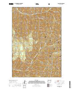
2020 Map of Big Meadows
USGS Topo · Published 2020About this map
The Umatilla National Forest defines this high-elevation landscape in Umatilla County, where the headwaters of the N Fork Walla Walla River and Mill Creek carve through the plateau. This 2020 survey documents a transition between active forest management and conservation, notably within the protected Mill Creek Watershed in the north. The area is characterized by named flats and clearings like Little Meadows and Big Meadows, which historically served as vital landmarks for travel through the heavy timber. A network of primitive routes and footpaths, including the Indian Ridge Trail and Tiger Ridge Trail, trace the high spines of Low Ridge and Indian Ridge. Distinctive geological formations like The Horseshoe and Yellow Jacket Point provide anchor points for understanding the drainage patterns and physical geography of the Blue Mountains region.
Find a feature on this map
31 named features on this map. Tap any name to fly to it.
Don’t see what you’re looking for? This feature index may not catch every label — zoom into the map to look around manually.
Map Details
Editions of this 2020 Big Meadows Map
This is the sole edition of this map. No revisions or reprints were ever made.
Other maps of this area

1919 · Walla Walla
USGS Topo · 1:125,000

1921 · Walla Walla
USGS Topo · 1:125,000

1937 · Pomeroy
USGS Topo · 1:96,000

1942 · Pomeroy
USGS Topo · 1:125,000

1953 · Pendleton
USGS Topo · 1:250,000

1953 · Walla Walla
USGS Topo · 1:250,000

1955 · Pullman
USGS Topo · 1:250,000

1955 · Grangeville
USGS Topo · 1:250,000

1956 · Pendleton
USGS Topo · 1:250,000

1958 · Pullman
USGS Topo · 1:250,000