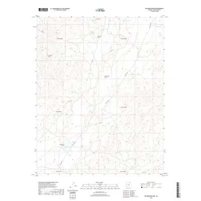
2018 Map of Big Mountain Dam
USGS Topo · Published 2018About this map
Big Mountain Dam and the Big Mountain Dam Reservoir anchor the southern portion of this landscape, managing the intermittent flow of the high desert. The terrain is characterized by a series of significant landforms, including the prominent Ziltahjini Peak and the high elevation of Big Mtn. North of these heights, the landscape opens into White Hair Valley and Many Sheep Valley, areas whose names reflect the indigenous pastoral traditions of the region.
Find a feature on this map
21 named features on this map. Tap any name to fly to it.
Don’t see what you’re looking for? This feature index may not catch every label — zoom into the map to look around manually.
Map Details
Editions of this 2018 Big Mountain Dam Map
This is the sole edition of this map. No revisions or reprints were ever made.
Other maps of this area

1883 · Marsh Pass
USGS Topo · 1:250,000

1892 · Marsh Pass
USGS Topo · 1:250,000

1956 · Marble Canyon
USGS Topo · 1:250,000

1959 · Marble Canyon
USGS Topo · 1:250,000

1961 · Marble Canyon
USGS Topo · 1:250,000
1967 · Hard Rocks
USGS Topo · 1:24,000
1967 · Big Mountain Dam
USGS Topo · 1:24,000
1967 · Rocky Ridge Se
USGS Topo · 1:24,000
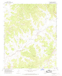
1967 · Coat Spring
USGS Topo · 1:24,000
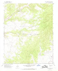
1967 · Rocky Ridge NE
USGS Topo · 1:24,000