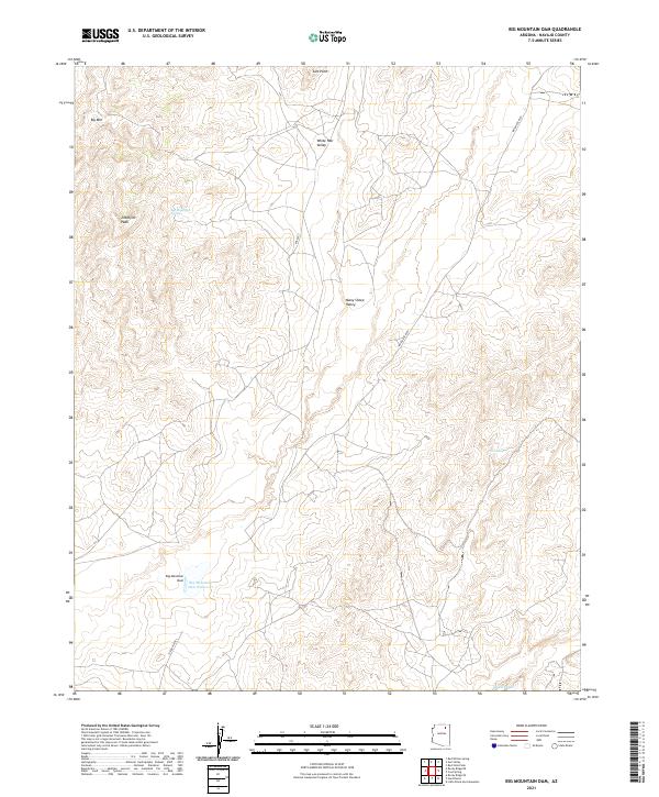
2021 Map of Big Mountain Dam
USGS Topo · Published 2021About this map
Big Mountain Dam and its adjacent Big Mountain Dam Reservoir anchor the southern portion of this high-desert landscape in Navajo County. The terrain is characterized by dramatic elevation changes, featuring prominent peaks like Ziltahjini Peak and Big Mtn in the north, which overlook the broad expanses of White Hair Valley and Many Sheep Valley. This 2021 survey reveals a landscape largely shaped by traditional land use and water management, where seasonal drainages such as Oraibi Wash and Tsin Yatoh are critical features. The sparse infrastructure consists primarily of unpaved routes like the Turquoise Trl and Indian Rte 8029, reflecting the rural character of the region. Localized water sources, including Big Mountain Spring, remain essential landmarks for navigation and local history in this arid environment.
Find a feature on this map
19 named features on this map. Tap any name to fly to it.
Don’t see what you’re looking for? This feature index may not catch every label — zoom into the map to look around manually.
Map Details
Editions of this 2021 Big Mountain Dam Map
This is the sole edition of this map. No revisions or reprints were ever made.
Other maps of this area

1883 · Marsh Pass
USGS Topo · 1:250,000

1892 · Marsh Pass
USGS Topo · 1:250,000

1956 · Marble Canyon
USGS Topo · 1:250,000

1959 · Marble Canyon
USGS Topo · 1:250,000

1961 · Marble Canyon
USGS Topo · 1:250,000
1967 · Hard Rocks
USGS Topo · 1:24,000
1967 · Big Mountain Dam
USGS Topo · 1:24,000
1967 · Rocky Ridge Se
USGS Topo · 1:24,000
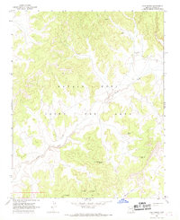
1967 · Coat Spring
USGS Topo · 1:24,000
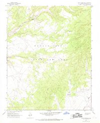
1967 · Rocky Ridge NE
USGS Topo · 1:24,000