2023 Map of Big Plain
USGS Topo · Published 2023About this map
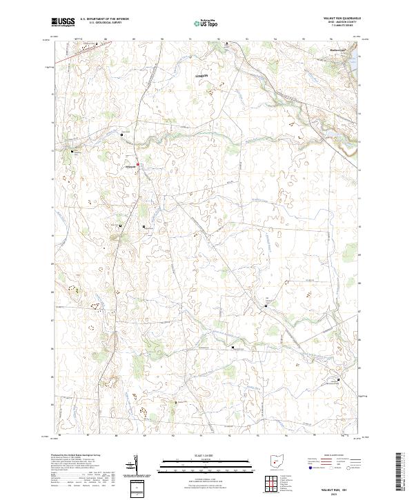
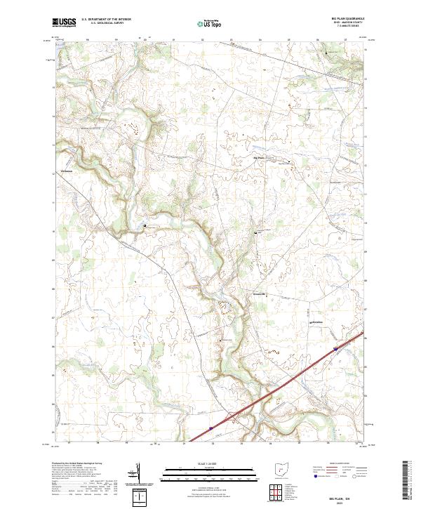
The agricultural landscape of Madison County is defined by a dense network of water management features and small rural settlements. Big Plain and Kiousville serve as central nodes in a territory crisscrossed by an extensive system of man-made and natural drainage, including McGuire Gilliland Ditch, Robinson Ditch, and Childers Ditch. These features reflect a long history of converting the native prairie and wetlands into productive farmland. For genealogists and local historians, the area is rich with family-named landmarks and small burial grounds such as Timmons Cem, Jackson Cem, and Graham Cem. At the northern edge, Madison Lake provides a distinct geographical contrast to the surrounding fields. The road network, including the diagonal London-Circleville Rd, connects these dispersed communities, while Dennison Chapel remains a notable landmark of the local community's spiritual history near the intersection of Co Hwy 22 and Big Plain Circleville Rd.
Find a feature on this map
55 named features on this map. Tap any name to fly to it.
Don’t see what you’re looking for? This feature index may not catch every label — zoom into the map to look around manually.
Map Details
Editions of this 2023 Big Plain Map
This is the sole edition of this map. No revisions or reprints were ever made.
Historical Maps of Pleasant Township Through Time
6 maps found