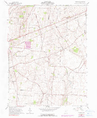
1961 Map of Florence
USGS Topo · Published 1990About this map
Virginia Military District Between the Miamis defines the historical land structure of this region, where the agricultural landscape of Madison County is crisscrossed by early transport routes and watercourses. Small community hubs and family legacies are visible at the St Charles Cem near the western edge and Williams Chapel Cem further east. The settlement of Florence sits near the crossing of Point Road and the Penn Central rail line, which cuts a sharp diagonal through the northern townships of Harmony and Union. Further south, the drainage patterns of Paint Creek and the Little Miami River dictate the local topography, while the Detroit Toledo and Ironton line skirts the southwestern corner. This 1961 record, with 1974 photo-revisions, captures the transition of rural crossroads as the interstate era began to settle over the traditional farming townships of Madison, Paint, and Stokes.
Find a feature on this map
63 named features on this map. Tap any name to fly to it.
Don’t see what you’re looking for? This feature index may not catch every label — zoom into the map to look around manually.
Map Details
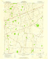
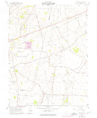
Editions of this 1961 Florence Map
3 editions found
Other maps of this area

1906 · Mt Sterling
USGS Topo · 1:62,500

1907 · London
USGS Topo · 1:62,500

1907 · South Charleston
USGS Topo · 1:62,500

1916 · Octa
USGS Topo · 1:62,500

1944 · Octa
USGS Topo · 1:62,500

1947 · Columbus
USGS Topo · 1:250,000

1961 · Columbus
USGS Topo · 1:250,000
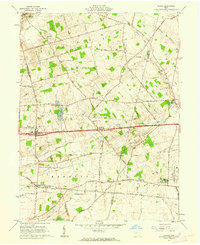
1961 · Vienna
USGS Topo · 1:24,000
1961 · New Moorefield
USGS Topo · 1:24,000
1961 · London
USGS Topo · 1:24,000