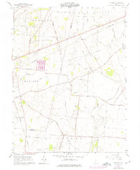
1961 Map of Florence
USGS Topo · Published 1975About this map
The Virginia Military District Between The Miamis defines the historic land divisions of this region, where early surveying patterns met the growing infrastructure of the mid-twentieth century. Near the small settlement of Florence, the Penn Central railroad cuts a diagonal line across the landscape, paralleling several major transport corridors like the Columbus Xenia Road. The map reveals a deeply established rural community through its numerous family and community landmarks, including Williams Chapel Cam and St Charles Com.
Find a feature on this map
72 named features on this map. Tap any name to fly to it.
Don’t see what you’re looking for? This feature index may not catch every label — zoom into the map to look around manually.
Map Details
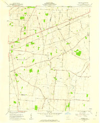
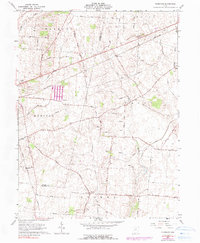
Editions of this 1961 Florence Map
3 editions found
Other maps of this area

1906 · Mt Sterling
USGS Topo · 1:62,500

1907 · London
USGS Topo · 1:62,500

1907 · South Charleston
USGS Topo · 1:62,500

1916 · Octa
USGS Topo · 1:62,500

1944 · Octa
USGS Topo · 1:62,500

1947 · Columbus
USGS Topo · 1:250,000

1961 · Columbus
USGS Topo · 1:250,000
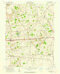
1961 · Vienna
USGS Topo · 1:24,000
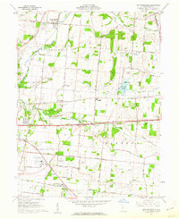
1961 · New Moorefield
USGS Topo · 1:24,000
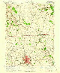
1961 · London
USGS Topo · 1:24,000