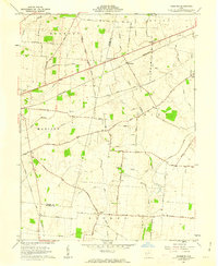
1961 Map of Florence
USGS Topo · Published 1962About this map
The Virginia Military District boundary cuts through this agricultural landscape at the intersection of Madison and Clark counties, where the Pennsylvania Railroad runs parallel to the Old Xenia Road. In the early 1960s, the small community of Florence serves as a local hub, surrounded by a network of family-named thoroughfares like Hutson Road and Selsor Moon Road. The terrain is defined by the upper reaches of the Little Miami River and numerous drainage ditches that supported the region's productive farmland.
Find a feature on this map
58 named features on this map. Tap any name to fly to it.
Don’t see what you’re looking for? This feature index may not catch every label — zoom into the map to look around manually.
Map Details
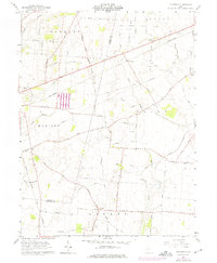
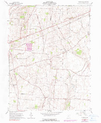
Editions of this 1961 Florence Map
3 editions found
Other maps of this area

1906 · Mt Sterling
USGS Topo · 1:62,500

1907 · London
USGS Topo · 1:62,500

1907 · South Charleston
USGS Topo · 1:62,500

1916 · Octa
USGS Topo · 1:62,500

1944 · Octa
USGS Topo · 1:62,500

1947 · Columbus
USGS Topo · 1:250,000

1961 · Columbus
USGS Topo · 1:250,000
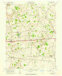
1961 · Vienna
USGS Topo · 1:24,000
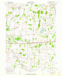
1961 · New Moorefield
USGS Topo · 1:24,000
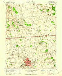
1961 · London
USGS Topo · 1:24,000