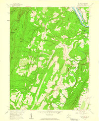
1958 Map of Big Pool
USGS Topo · Published 1959About this map
Potomac River transportation corridors dominate this late-1950s survey of the borderlands between Maryland and West Virginia. The historic Chesapeake and Ohio Canal and the Baltimore and Ohio railroad follow the northern riverbank, framing the landmark Big Pool and Fort Frederick State Park. This area showcases a transition from the industrial river valley to the rural ridges of Hedgesville and Tomahawk.
Find a feature on this map
39 named features on this map. Tap any name to fly to it.
Don’t see what you’re looking for? This feature index may not catch every label — zoom into the map to look around manually.
Map Details
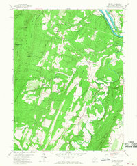
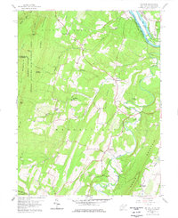
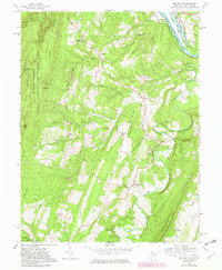
Editions of this 1958 Big Pool Map
4 editions found
Other maps of this area

1884 · Harpers Ferry
USGS Topo · 1:125,000

1891 · Harpers Ferry
USGS Topo · 1:125,000

1893 · Harpers Ferry
USGS Topo · 1:125,000

1894 · Winchester
USGS Topo · 1:125,000

1899 · Hancock
USGS Topo · 1:62,500

1901 · Hancock
USGS Topo · 1:62,500

1912 · Williamsport
USGS Topo · 1:62,500

1914 · Martinsburg
USGS Topo · 1:48,000

1914 · Gerrardstown
USGS Topo · 1:48,000

1916 · Gerrardstown
USGS Topo · 1:62,500