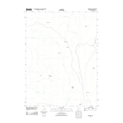
2012 Map of Big Ridge
USGS Topo · Published 2012About this map
Big Ridge and the surrounding high-desert landscape of Sweetwater County define this corner of Wyoming as it appeared in the early 21st century. The terrain is characterized by intricate drainage systems feeding into Currant Creek and Trout Creek, carving landmarks such as The Narrows and Dipping Spring Canyon. These seasonal water sources were vital for the early ranching operations that gave names to features like Janes Meadow and the lone artery through the area, Ramsey Ranch Rd.
Find a feature on this map
24 named features on this map. Tap any name to fly to it.
Don’t see what you’re looking for? This feature index may not catch every label — zoom into the map to look around manually.
Map Details
Editions of this 2012 Big Ridge Map
This is the sole edition of this map. No revisions or reprints were ever made.
Other maps of this area

1954 · Rock Springs
USGS Topo · 1:250,000

1957 · Currant Creek Ranch
USGS Topo · 1:62,500

1957 · Firehole Basin
USGS Topo · 1:62,500

1958 · Rock Springs
USGS Topo · 1:250,000

1962 · Rock Springs
USGS Topo · 1:250,000
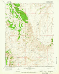
1963 · Maxon Ranch
USGS Topo · 1:24,000
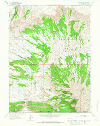
1963 · Richards Gap
USGS Topo · 1:24,000

1966 · Firehole Basin
USGS Topo · 1:62,500

1966 · Currant Creek Ranch
USGS Topo · 1:62,500
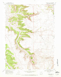
1968 · Earnest Butte
USGS Topo · 1:24,000