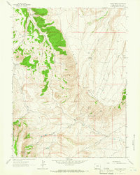
1963 Map of Maxon Ranch
USGS Topo · Published 1966About this map
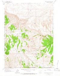
Maxon Ranch and other isolated homesteads anchor this high-desert landscape in the early 1960s. The topography is dominated by the dramatic ascent of Miller Mountain, which towers over the Ramsay Desert to the west. This arid terrain is defined by a network of seasonal water sources and family-named locations such as Ramsay Ranch and Logan Place.
Find a feature on this map
17 named features on this map. Tap any name to fly to it.
Don’t see what you’re looking for? This feature index may not catch every label — zoom into the map to look around manually.
Map Details
Editions of this 1963 Maxon Ranch Map
2 editions found
Other maps of this area

1954 · Rock Springs
USGS Topo · 1:250,000

1957 · Currant Creek Ranch
USGS Topo · 1:62,500

1957 · Firehole Basin
USGS Topo · 1:62,500

1958 · Rock Springs
USGS Topo · 1:250,000

1962 · Rock Springs
USGS Topo · 1:250,000
1963 · Titsworth Gap
USGS Topo · 1:24,000
1963 · Richards Gap
USGS Topo · 1:24,000
1963 · Red Creek Ranch
USGS Topo · 1:24,000

1966 · Firehole Basin
USGS Topo · 1:62,500

1966 · Currant Creek Ranch
USGS Topo · 1:62,500