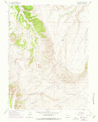
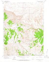
1963 Map of Maxon Ranch
USGS Topo · Published 1978About this map
Miller Mountain dominates this high-desert portion of Sweetwater County, where the topography of the 1960s reveals a sparse ranching landscape defined by intermittent water sources and high-elevation plateaus. Isolated homesteads like Maxon Ranch and Ramsay Ranch are situated near vital drainage systems such as Sage Creek and Trout Creek. These settlements represent the mid-century livestock economy of the region, reliant on developed water points like Willow Tree Springs and Camp Creek Springs.
Find a feature on this map
19 named features on this map. Tap any name to fly to it.
Don’t see what you’re looking for? This feature index may not catch every label — zoom into the map to look around manually.
Map Details
Editions of this 1963 Maxon Ranch Map
2 editions found
Other maps of this area

1954 · Rock Springs
USGS Topo · 1:250,000

1957 · Currant Creek Ranch
USGS Topo · 1:62,500

1957 · Firehole Basin
USGS Topo · 1:62,500

1958 · Rock Springs
USGS Topo · 1:250,000

1962 · Rock Springs
USGS Topo · 1:250,000
1963 · Maxon Ranch
USGS Topo · 1:24,000
1963 · Titsworth Gap
USGS Topo · 1:24,000
1963 · Richards Gap
USGS Topo · 1:24,000
1963 · Red Creek Ranch
USGS Topo · 1:24,000

1966 · Firehole Basin
USGS Topo · 1:62,500