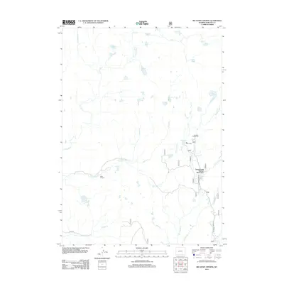
2012 Map of Big Sandy Opening
USGS Topo · Published 2012About this map
The Big Sandy Lodge and Temple Creek Summer Home Area serve as central points of human activity within this high-elevation Wyoming landscape, documented in the early twenty-first century. This territory is defined by an intricate network of alpine water bodies and drainage systems, including the Big Sandy River and its numerous tributaries such as Iron Cr, Willow Cr, and Dutch Joe Cr. The terrain is marked by significant topographical features like Irish Canyon and the E Fork River valley.
Find a feature on this map
31 named features on this map. Tap any name to fly to it.
Don’t see what you’re looking for? This feature index may not catch every label — zoom into the map to look around manually.
Map Details
Editions of this 2012 Big Sandy Opening Map
This is the sole edition of this map. No revisions or reprints were ever made.
Other maps of this area

1937 · Moccasin Lake
USGS Topo · 1:48,000

1938 · Mt Bonneville
USGS Topo · 1:62,500

1941 · Mt Bonneville
USGS Topo · 1:62,500

1942 · Mt Bonneville
USGS Topo · 1:62,500

1943 · Moccasin Lake
USGS Topo · 1:62,500

1955 · Lander
USGS Topo · 1:250,000

1958 · Lander
USGS Topo · 1:250,000

1961 · Lander
USGS Topo · 1:250,000

1969 · Pocket Creek Lake
USGS Topo · 1:24,000

1969 · Leckie SW
USGS Topo · 1:24,000