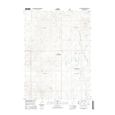
2015 Map of Big Sandy Opening
USGS Topo · Published 2015About this map
The Temple Creek Summer Home Area serves as a central point of interest in this high-altitude landscape within the Bridger National Forest. The terrain is defined by its significant hydrography, including the Big Sandy River and a dense network of alpine lakes such as Poston Lake, Legion Lake, and Diamond Lake. The mapping of the Continental Divide National Scenic Trail illustrates the area's importance for long-distance recreation, cutting through the high country near Laturio Mtn. Notable landforms like Irish Canyon and Muddy Ridge provide clear landmarks for navigating the watershed. The presence of the Big Sandy Opening and associated Big Sandy Opening Rd indicates a long-standing gateway for travelers and seasonal residents entering this part of the Wind River Range.
Find a feature on this map
43 named features on this map. Tap any name to fly to it.
Don’t see what you’re looking for? This feature index may not catch every label — zoom into the map to look around manually.
Map Details
Editions of this 2015 Big Sandy Opening Map
This is the sole edition of this map. No revisions or reprints were ever made.
Other maps of this area

1937 · Moccasin Lake
USGS Topo · 1:48,000

1938 · Mt Bonneville
USGS Topo · 1:62,500

1941 · Mt Bonneville
USGS Topo · 1:62,500

1942 · Mt Bonneville
USGS Topo · 1:62,500

1943 · Moccasin Lake
USGS Topo · 1:62,500

1955 · Lander
USGS Topo · 1:250,000

1958 · Lander
USGS Topo · 1:250,000

1961 · Lander
USGS Topo · 1:250,000

1969 · Pocket Creek Lake
USGS Topo · 1:24,000

1969 · Leckie SW
USGS Topo · 1:24,000