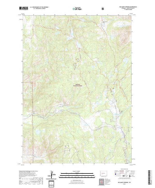
2021 Map of Big Sandy Opening
USGS Topo · Published 2021About this map
Bridger National Forest defines the high-country character of this Wyoming survey, centered on the convergence of major mountain trails and alpine waterways. The Big Sandy River and E Fork River carve through the terrain, fed by a dense network of glacial lakes including Poston Lake, Legion Lake, and Johnson Lake. A critical junction for backcountry travel, the map highlights the Continental Divide National Scenic Trl as it traverses the eastern heights near Laturio Mtn.
Find a feature on this map
49 named features on this map. Tap any name to fly to it.
Don’t see what you’re looking for? This feature index may not catch every label — zoom into the map to look around manually.
Map Details
Editions of this 2021 Big Sandy Opening Map
This is the sole edition of this map. No revisions or reprints were ever made.
Other maps of this area

1937 · Moccasin Lake
USGS Topo · 1:48,000

1938 · Mt Bonneville
USGS Topo · 1:62,500

1941 · Mt Bonneville
USGS Topo · 1:62,500

1942 · Mt Bonneville
USGS Topo · 1:62,500

1943 · Moccasin Lake
USGS Topo · 1:62,500

1955 · Lander
USGS Topo · 1:250,000

1958 · Lander
USGS Topo · 1:250,000

1961 · Lander
USGS Topo · 1:250,000

1969 · Pocket Creek Lake
USGS Topo · 1:24,000

1969 · Leckie SW
USGS Topo · 1:24,000