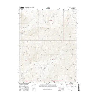
2016 Map of Big Soap Park
USGS Topo · Published 2016About this map
Gunnison National Forest dominates this high-altitude landscape in the West Elk Mountains, where a complex network of drainage basins and ridges defines the terrain. The map captures an era of backcountry accessibility, with long-established pathways like the Curecanti Trail and Soap Creek Trail following the natural contours of deep valleys such as Smooth Canyon and Jackass Gulch. The presence of named features like Beaver Jungle and the central clearing of Big Soap Park indicates a land long utilized for its natural resources and seasonal grazing, while the numerous peaks including Sheep Mtn and Bonfisk Peak served as vital landmarks for navigation. From the crossing at Curecanti Pass to the high reaches of Kaufman Ridge, the map documents a geography where transport remained largely limited to trail-bound movement through the drainages of Coal Cr and its tributaries.
Find a feature on this map
41 named features on this map. Tap any name to fly to it.
Don’t see what you’re looking for? This feature index may not catch every label — zoom into the map to look around manually.
Map Details
Editions of this 2016 Big Soap Park Map
This is the sole edition of this map. No revisions or reprints were ever made.
Other maps of this area

1888 · Anthracite
USGS Topo · 1:62,500

1889 · Anthracite
USGS Topo · 1:62,500

1893 · Anthracite
USGS Topo · 1:62,500

1894 · Anthracite
USGS Topo · 1:62,500

1938 · Mt. Gunnison
USGS Topo · 1:48,000

1945 · Mount Gunnison
USGS Topo · 1:62,500

1954 · West Elk Peak SW
USGS Topo · 1:24,000

1954 · Little Soap Park
USGS Topo · 1:24,000

1956 · Montrose
USGS Topo · 1:250,000

1957 · X Lazy F Ranch
USGS Topo · 1:24,000