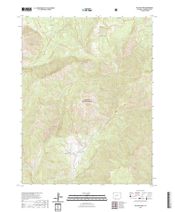
2022 Map of Big Soap Park
USGS Topo · Published 2022About this map
Gunnison National Forest dominates this section of the West Elk Mountains, where the high-altitude landscape is defined by its complex drainage systems and volcanic peaks. The area around Big Soap Park serves as a central hub for a extensive network of trails, including the Soap Creek Trl and East Soap Trl, which follow the branching forks of Soap Cr. This map captures the intricate topography of the Kaufman Ridge and the distinct volcanic profiles of Porcupine Cone and Haystack Mtn.
Find a feature on this map
41 named features on this map. Tap any name to fly to it.
Don’t see what you’re looking for? This feature index may not catch every label — zoom into the map to look around manually.
Map Details
Editions of this 2022 Big Soap Park Map
This is the sole edition of this map. No revisions or reprints were ever made.
Other maps of this area

1888 · Anthracite
USGS Topo · 1:62,500

1889 · Anthracite
USGS Topo · 1:62,500

1893 · Anthracite
USGS Topo · 1:62,500

1894 · Anthracite
USGS Topo · 1:62,500

1938 · Mt. Gunnison
USGS Topo · 1:48,000

1945 · Mount Gunnison
USGS Topo · 1:62,500

1954 · West Elk Peak SW
USGS Topo · 1:24,000

1954 · Little Soap Park
USGS Topo · 1:24,000

1956 · Montrose
USGS Topo · 1:250,000

1957 · X Lazy F Ranch
USGS Topo · 1:24,000