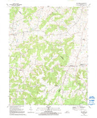
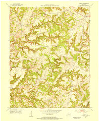
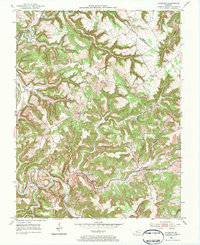
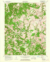
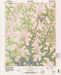
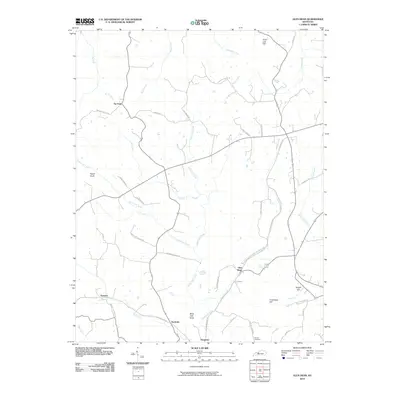
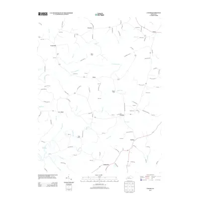
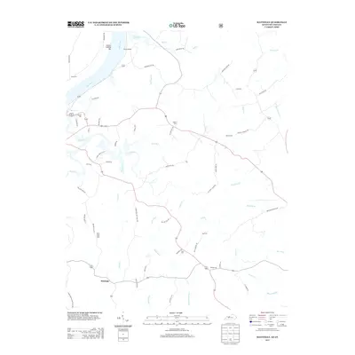
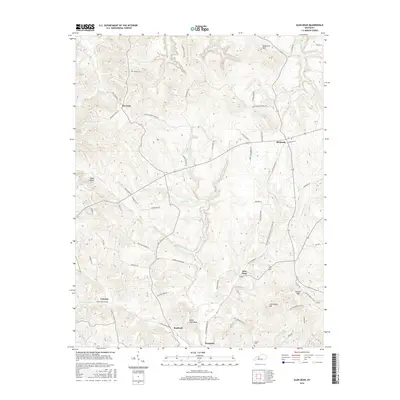
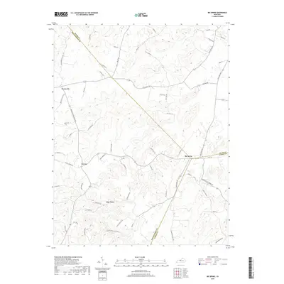
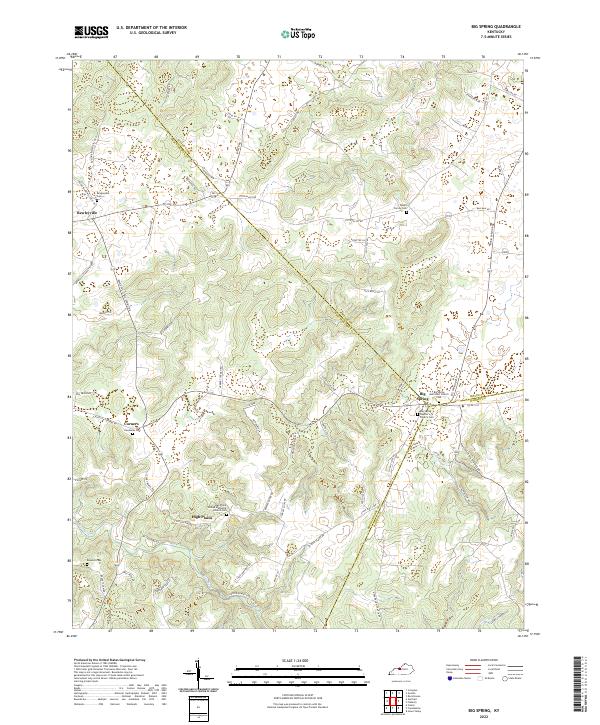
1991 Map of Big Spring
USGS Topo · Published 1992About this map
Big Spring serves as a central hub where the borders of Meade, Breckinridge, and Hardin counties converge, anchoring a rural landscape defined by karst topography and family-owned lands. The region is dotted with small agricultural settlements like Bewleyville and Maples Corner, interconnected by a network of winding county roads. Several unnamed cemeteries and the Bennett Cem are scattered across the terrain, offering significant points of interest for genealogical research into the local farming communities.
Find a feature on this map
21 named features on this map. Tap any name to fly to it.
Don’t see what you’re looking for? This feature index may not catch every label — zoom into the map to look around manually.
Map Details
Editions of this 1991 Big Spring Map
This is the sole edition of this map. No revisions or reprints were ever made.
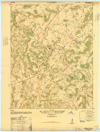
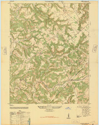
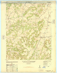
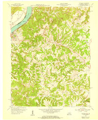
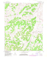
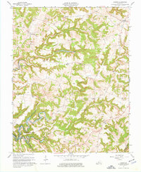
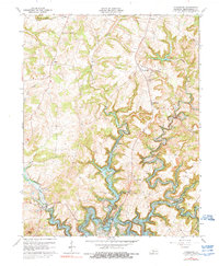
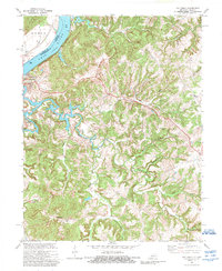
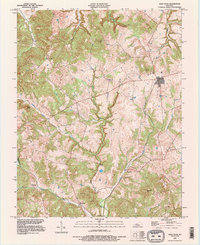
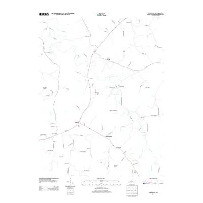
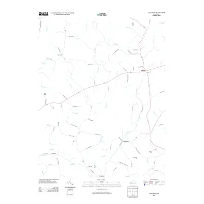
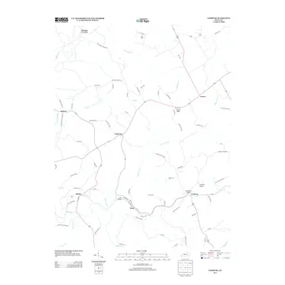
Historical Maps of Maples Corner Through Time
52 maps found
1947 Garfield
Breckinridge County, KY
1947 Lodiburg
Breckinridge County, KY
1948 Big Spring
Breckinridge County, KY
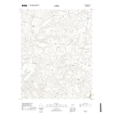
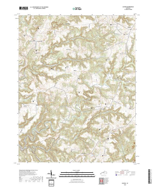
1953 Custer
Breckinridge County, KY
1953 Garfield
Breckinridge County, KY
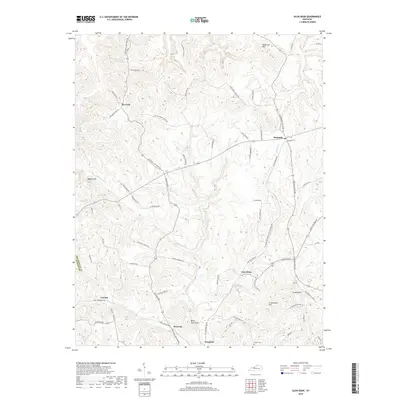
1953 Glen Dean
Breckinridge County, KY
1953 Kingswood
Breckinridge County, KY
1953 Lodiburg
Breckinridge County, KY
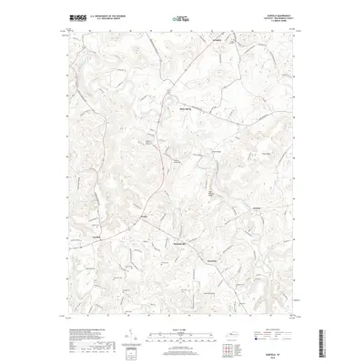
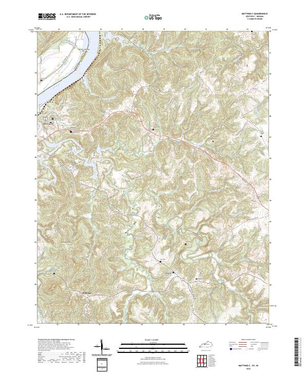
1953 Mattingly
Breckinridge County, KY
1961 Big Spring
Breckinridge County, KY
1963 Custer
Breckinridge County, KY
1963 Glen Dean
Breckinridge County, KY
1963 Kingswood
Breckinridge County, KY
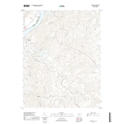
1970 Mattingly
Breckinridge County, KY
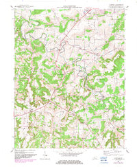
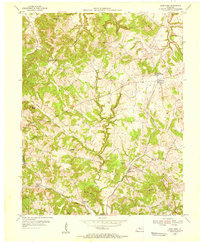
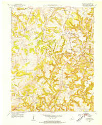
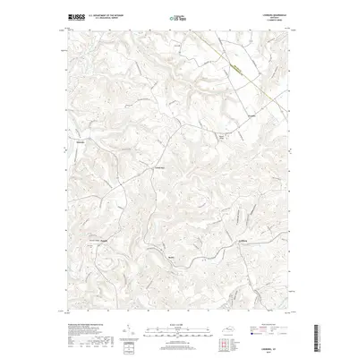
1991 Big Spring
Breckinridge County, KY
1993 Glen Dean
Breckinridge County, KY
1993 Kingswood
Breckinridge County, KY
2010 Big Spring
Breckinridge County, KY
2010 Custer
Breckinridge County, KY
2010 Garfield
Breckinridge County, KY
2010 Glen Dean
Breckinridge County, KY

2010 Kingswood
Breckinridge County, KY
2010 Lodiburg
Breckinridge County, KY
2010 Mattingly
Breckinridge County, KY
2013 Big Spring
Breckinridge County, KY
2013 Custer
Breckinridge County, KY
2013 Garfield
Breckinridge County, KY
2013 Glen Dean
Breckinridge County, KY

2013 Kingswood
Breckinridge County, KY
2013 Lodiburg
Breckinridge County, KY
2013 Mattingly
Breckinridge County, KY
2016 Big Spring
Breckinridge County, KY
2016 Custer
Breckinridge County, KY
2016 Garfield
Breckinridge County, KY
2016 Glen Dean
Breckinridge County, KY
2016 Kingswood
Breckinridge County, KY
2016 Lodiburg
Breckinridge County, KY
2016 Mattingly
Breckinridge County, KY
2019 Big Spring
Breckinridge County, KY
2019 Custer
Breckinridge County, KY
2019 Garfield
Breckinridge County, KY
2019 Glen Dean
Breckinridge County, KY

2019 Kingswood
Breckinridge County, KY
2019 Lodiburg
Breckinridge County, KY
2019 Mattingly
Breckinridge County, KY
2022 Big Spring
Breckinridge County, KY
2022 Custer
Breckinridge County, KY
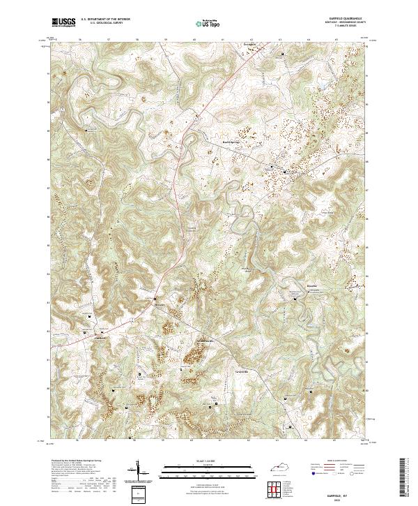
2022 Garfield
Breckinridge County, KY
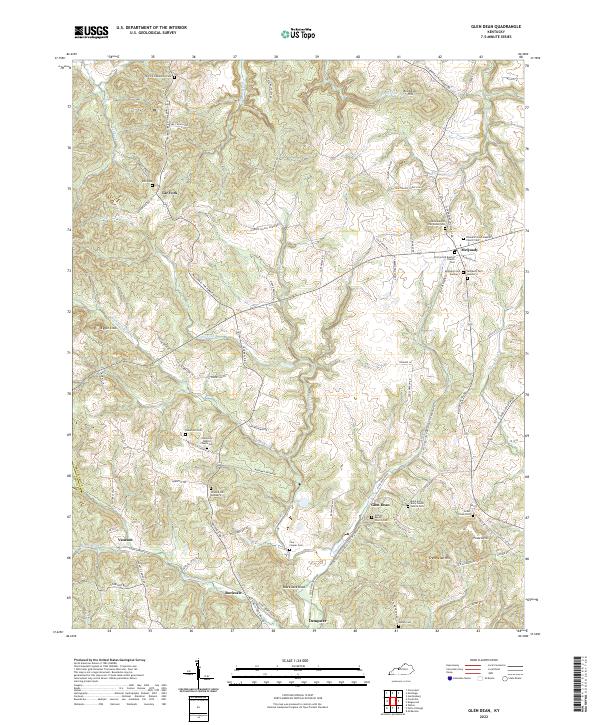
2022 Glen Dean
Breckinridge County, KY
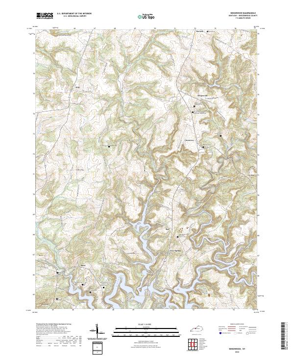
2022 Kingswood
Breckinridge County, KY
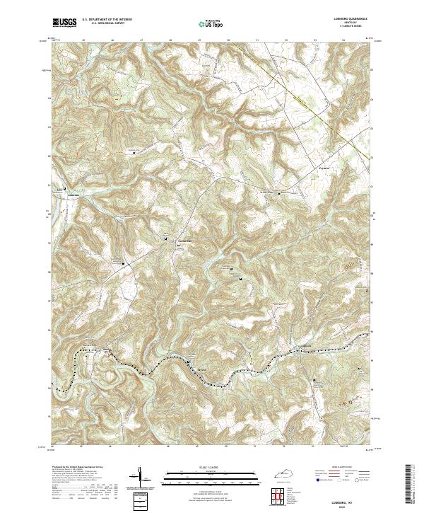
2022 Lodiburg
Breckinridge County, KY
2022 Mattingly
Breckinridge County, KY