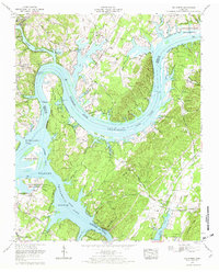
1967 Map of Big Spring
USGS Topo · Published 1969About this map
The Tennessee River snakes through the landscape in a massive meander at Armstrong Bend, defining the border between Rhea and Meigs counties. This late-1960s survey illustrates a region shaped by water management and conservation, featuring the Hiwassee Wildlife Refuge and the Blythe Ferry Goose Management Area at the confluence with the Hiwassee River. To the northwest, the city of Dayton sits near the mouth of Richland Creek, which feeds into Chickamauga Lake. The presence of William Jennings Bryan University and the Mark Anton Airfield signal the mid-century development of the area. Genealogists will find numerous family landmarks, including the Shaver Cem, Sullivan Cem, and Spence Cem, alongside an ancient Indian mound near the riverbank. The map also records essential local infrastructure like the Lake Richland Boat Dock and the Rattan Bridge.
Find a feature on this map
62 named features on this map. Tap any name to fly to it.
Don’t see what you’re looking for? This feature index may not catch every label — zoom into the map to look around manually.
Map Details
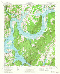
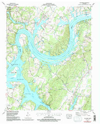
Editions of this 1967 Big Spring Map
3 editions found
Other maps of this area

1886 · Cleveland
USGS Topo · 1:125,000

1887 · Kingston
USGS Topo · 1:125,000

1888 · Chattanooga
USGS Topo · 1:125,000

1891 · Kingston
USGS Topo · 1:125,000

1892 · Pikeville
USGS Topo · 1:125,000

1892 · Cleveland
USGS Topo · 1:125,000

1893 · Chattanooga
USGS Topo · 1:125,000

1893 · Kingston
USGS Topo · 1:125,000

1895 · Cleveland
USGS Topo · 1:125,000

1895 · Pikeville
USGS Topo · 1:125,000