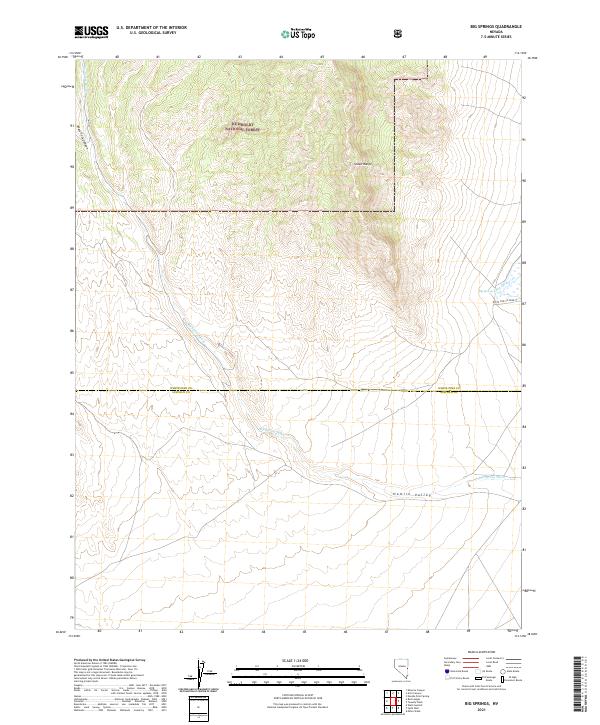
2021 Map of Big Springs
USGS Topo · Published 2021About this map
The Humboldt National Forest dominates the northern reaches of this landscape, where the high elevations of the Snake Range overlook the desert floor. The terrain transition is marked by deep incisions such as West Fork Canyon, which funnel drainage toward the expansive Hamlin Valley below. This survey captures the remote intersection of two Nevada counties, defined by the White Pine and Lincoln County border.
Find a feature on this map
15 named features on this map. Tap any name to fly to it.
Don’t see what you’re looking for? This feature index may not catch every label — zoom into the map to look around manually.
Map Details
Editions of this 2021 Big Springs Map
This is the sole edition of this map. No revisions or reprints were ever made.
Other maps of this area

1948 · Wheeler Peak
USGS Topo · 1:62,500

1949 · Garrison
USGS Topo · 1:62,500

1950 · Wheeler Peak
USGS Topo · 1:62,500

1951 · Garrison
USGS Topo · 1:62,500

1956 · Lund
USGS Topo · 1:250,000

1960 · Lund
USGS Topo · 1:250,000

1972 · Miller Wash
USGS Topo · 1:24,000

1972 · Hyde Well
USGS Topo · 1:24,000
1972 · Tweedy Wash
USGS Topo · 1:24,000

1972 · Big Springs
USGS Topo · 1:24,000