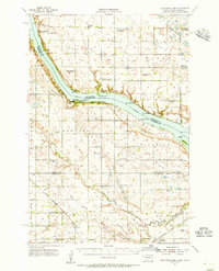
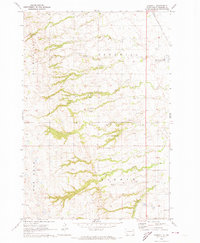
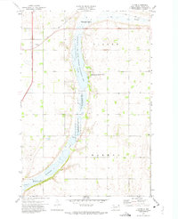
1954 Map of Big Stone Lake
USGS Topo · Published 1956This historical map portrays the area of Big Stone Lake in 1954, primarily covering Roberts County as well as portions of Minnesota. Featuring a scale of 1:62500, this map provides a highly detailed snapshot of the terrain, roads, buildings, counties, and historical landmarks in the Big Stone Lake region at the time. Published in 1956, it is one of 2 known editions of this map due to revisions or reprints.
Find a feature on this map
56 named features on this map. Tap any name to fly to it.
Don’t see what you’re looking for? This feature index may not catch every label — zoom into the map to look around manually.
Map Details
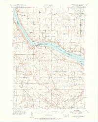
Editions of this 1954 Big Stone Lake Map
2 editions found
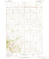
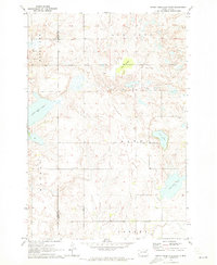
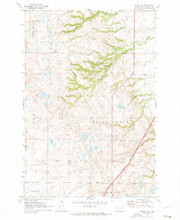
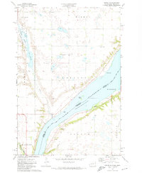
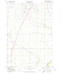
Historical Maps of Foster Through Time
12 maps found
1954 Big Stone Lake
Roberts County, SD
1964 Claire City SW
Roberts County, SD

1970 Drywood Lakes
Roberts County, SD
1970 Enemy Swim Lake East
Roberts County, SD
1970 Goodwill
Roberts County, SD
1970 Summit NE
Roberts County, SD

1970 Whitestone Lake
Roberts County, SD

1970 Wilmot NW
Roberts County, SD
1971 Peever NE
Roberts County, SD
1971 Peever NW
Roberts County, SD
1972 Victor
Roberts County, SD
1977 Peever NE
Roberts County, SD