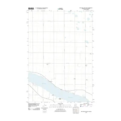
2010 Map of Big Stone Lake East
USGS Topo · Published 2010About this map
Big Stone Lake anchors this border landscape, where the Minnesota River flows southeast from the lake's southern tip. The eastern shoreline is defined by distinct landmarks such as Point Welcome, Lou Point, and Point Comfort, with Big Stone State Park preserving a portion of the lakeside terrain. In the surrounding uplands, a grid of rural roads, including County Hwy-81 and County Hwy-6, connects several small cemeteries that serve the local farming community. Genealogists will find interest in the distribution of these sites, such as Elim Cemetery, Bailey Cemetery, and Mills Cemetery. The settlement of Schmidt Landing provides a localized point of access to the water, while the presence of Shannon Field further north indicates the specific land-use patterns of Roberts County during this 2010 survey.
Find a feature on this map
25 named features on this map. Tap any name to fly to it.
Don’t see what you’re looking for? This feature index may not catch every label — zoom into the map to look around manually.
Map Details
Editions of this 2010 Big Stone Lake East Map
This is the sole edition of this map. No revisions or reprints were ever made.
Other maps of this area

1916 · Beardsley
USGS Topo · 1:62,500

1918 · Beardsley
USGS Topo · 1:62,500

1950 · Graceville
USGS Topo · 1:62,500

1953 · Ortonville
USGS Topo · 1:62,500

1953 · Milbank
USGS Topo · 1:250,000

1954 · Big Stone Lake
USGS Topo · 1:62,500

1958 · Milbank
USGS Topo · 1:250,000

1971 · Big Stone Lake East
USGS Topo · 1:24,000

1971 · Big Stone Lake West
USGS Topo · 1:24,000

1971 · Big Stone Lake SE
USGS Topo · 1:24,000