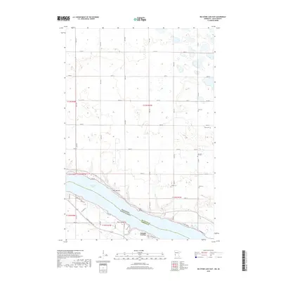
2019 Map of Big Stone Lake East
USGS Topo · Published 2019About this map
Big Stone Lake anchors this borderland landscape, defining the boundary between Minnesota and South Dakota. Along its southern shoreline in Roberts County, small lakefront settlements like Schmidt Landing, Point Comfort, and Point Welcome suggest a quiet recreational and residential character. The interior terrain is marked by a systematic grid of section roads, including Co Hwy 4 and Co Hwy 6, which cut through a glacial landscape dotted with numerous small, unnamed wetlands and depressions north of the lake.
Find a feature on this map
35 named features on this map. Tap any name to fly to it.
Don’t see what you’re looking for? This feature index may not catch every label — zoom into the map to look around manually.
Map Details
Editions of this 2019 Big Stone Lake East Map
This is the sole edition of this map. No revisions or reprints were ever made.
Other maps of this area

1916 · Beardsley
USGS Topo · 1:62,500

1918 · Beardsley
USGS Topo · 1:62,500

1950 · Graceville
USGS Topo · 1:62,500

1953 · Ortonville
USGS Topo · 1:62,500

1953 · Milbank
USGS Topo · 1:250,000

1954 · Big Stone Lake
USGS Topo · 1:62,500

1958 · Milbank
USGS Topo · 1:250,000

1971 · Big Stone Lake East
USGS Topo · 1:24,000

1971 · Big Stone Lake West
USGS Topo · 1:24,000

1971 · Big Stone Lake SE
USGS Topo · 1:24,000