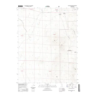
2014 Map of Big Ten Peak West
USGS Topo · Published 2014About this map
Toiyabe National Forest dominates this high-altitude Nevada landscape, where the McKinney Mountains and several prominent summits define the eastern topography. The terrain is characterized by a series of dramatic vertical rises, including Big Ten Peak in the southeast and the central Sheep Mtn, which stands near Hat Peak. These peaks are separated by deeply etched drainages like Mine Canyon and the descriptive Horse Heaven in the northeast corner.
Find a feature on this map
23 named features on this map. Tap any name to fly to it.
Don’t see what you’re looking for? This feature index may not catch every label — zoom into the map to look around manually.
Map Details
Editions of this 2014 Big Ten Peak West Map
This is the sole edition of this map. No revisions or reprints were ever made.
Other maps of this area

1907 · Tonopah
USGS Topo · 1:250,000

1908 · Tonopah
USGS Topo · 1:250,000

1956 · Tonopah
USGS Topo · 1:250,000

1959 · Tonopah
USGS Topo · 1:250,000

1962 · Tonopah
USGS Topo · 1:250,000

1963 · Baxter Spring
USGS Topo · 1:62,500

1971 · Belmont East
USGS Topo · 1:24,000

1971 · Antelope Spring
USGS Topo · 1:24,000

1971 · Manhattan
USGS Topo · 1:24,000

1971 · Belmont West
USGS Topo · 1:24,000