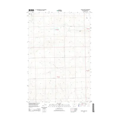
2014 Map of Big Wall West
USGS Topo · Published 2014About this map
Big Wall Oil Field dominates the northeastern corner of this Central Montana landscape, marking a significant site of petroleum extraction within Musselshell County. The industrial presence is centered near the small settlement of Big Wall, which sits just south of the primary drilling activity. The terrain is characterized by the seasonal drainages of N Willow Cr, which thread through the dry coulees and high plains typical of the region.
Find a feature on this map
14 named features on this map. Tap any name to fly to it.
Don’t see what you’re looking for? This feature index may not catch every label — zoom into the map to look around manually.
Map Details
Editions of this 2014 Big Wall West Map
This is the sole edition of this map. No revisions or reprints were ever made.
Other maps of this area

1954 · Roundup
USGS Topo · 1:250,000

1958 · Roundup
USGS Topo · 1:250,000

1979 · Roundup
USGS Topo · 1:100,000

1979 · Gage NE
USGS Topo · 1:24,000

1979 · Gage
USGS Topo · 1:24,000

1979 · Roundup
USGS Topo · 1:24,000

1986 · Lake Mason SE
USGS Topo · 1:24,000

1986 · Lake Mason NE
USGS Topo · 1:24,000

1986 · Big Wall West
USGS Topo · 1:24,000

1986 · Big Wall NW
USGS Topo · 1:24,000