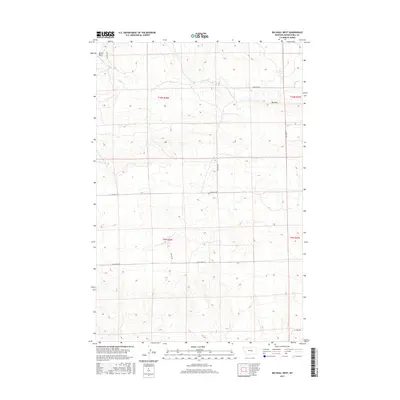
2017 Map of Big Wall West
USGS Topo · Published 2017About this map
Devils Basin dominates the northwestern corner of this Musselshell County landscape, where the high plains of central Montana meet a network of rural ranch roads and seasonal watercourses. The drainage of N Willow Cr meanders across the northern sections, cutting through terrain defined by significant elevation changes. Centered on the settlement of Big Wall, the map reveals a remote geography structured by early cadastral surveys, including townships T10N R26E and T9N R27E. The transportation network is primarily composed of light-duty and unpaved routes like Gage Dome Rd and Griffith Rd, reflecting a low-density settlement pattern typical of this region's modern ranching era. Researchers can trace the alignment of these local roads as they follow the natural contours of the land between the basin and the surrounding uplands.
Find a feature on this map
14 named features on this map. Tap any name to fly to it.
Don’t see what you’re looking for? This feature index may not catch every label — zoom into the map to look around manually.
Map Details
Editions of this 2017 Big Wall West Map
This is the sole edition of this map. No revisions or reprints were ever made.
Other maps of this area

1954 · Roundup
USGS Topo · 1:250,000

1958 · Roundup
USGS Topo · 1:250,000

1979 · Roundup
USGS Topo · 1:100,000

1979 · Gage NE
USGS Topo · 1:24,000

1979 · Gage
USGS Topo · 1:24,000

1979 · Roundup
USGS Topo · 1:24,000

1986 · Lake Mason SE
USGS Topo · 1:24,000

1986 · Lake Mason NE
USGS Topo · 1:24,000

1986 · Big Wall West
USGS Topo · 1:24,000

1986 · Big Wall NW
USGS Topo · 1:24,000