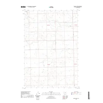
2020 Map of Big Wall West
USGS Topo · Published 2020About this map
Big Wall forms a prominent topographic feature across the eastern edge of this landscape in Musselshell County. The terrain is defined by the high, rimmed plateau of the wall and the depression of Devils Basin in the northwest, illustrating the stark elevation changes characteristic of central Montana's cattle country. Drainage is primarily managed by N Willow Cr, which winds through the northern sections of the quadrangle. A network of rural roads, including Griffith Rd and Big Wall Rd, follows the section lines and natural contours of the land, providing access to the remote ranchlands. The map reveals a persistent pattern of land division and infrastructure designed around the livestock industry, with family and locale names like Alec Roy Rd and Milton Rd marking the routes between isolated homesteads and grazing tracts.
Find a feature on this map
14 named features on this map. Tap any name to fly to it.
Don’t see what you’re looking for? This feature index may not catch every label — zoom into the map to look around manually.
Map Details
Editions of this 2020 Big Wall West Map
This is the sole edition of this map. No revisions or reprints were ever made.
Other maps of this area

1954 · Roundup
USGS Topo · 1:250,000

1958 · Roundup
USGS Topo · 1:250,000

1979 · Roundup
USGS Topo · 1:100,000

1979 · Gage NE
USGS Topo · 1:24,000

1979 · Gage
USGS Topo · 1:24,000

1979 · Roundup
USGS Topo · 1:24,000

1986 · Lake Mason SE
USGS Topo · 1:24,000

1986 · Lake Mason NE
USGS Topo · 1:24,000

1986 · Big Wall West
USGS Topo · 1:24,000

1986 · Big Wall NW
USGS Topo · 1:24,000