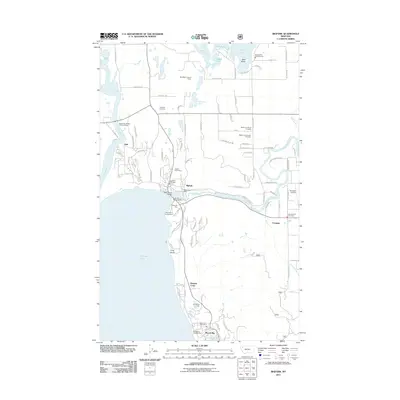
2011 Map of Bigfork
USGS Topo · Published 2011About this map
Bigfork sits at the northern terminus of Flathead Lake, where the Swan River empties into the bay, anchoring a landscape of glacial lakes and residential development. This 2011 survey documents the dense concentration of recreational and civic landmarks along the shoreline, including Wayfarers Campground and the Swan River Bridge. The map details a transition from the lakeside community to the more rural interior settlements like Ferndale and Holt.
Find a feature on this map
94 named features on this map. Tap any name to fly to it.
Don’t see what you’re looking for? This feature index may not catch every label — zoom into the map to look around manually.
Map Details
Editions of this 2011 Bigfork Map
This is the sole edition of this map. No revisions or reprints were ever made.
Other maps of this area

1914 · Nyack
USGS Topo · 1:125,000

1920 · Flathead Lake
USGS Topo · 1:125,000

1943 · Kalispell
USGS Topo · 1:125,000

1955 · Choteau
USGS Topo · 1:250,000

1956 · Wallace
USGS Topo · 1:250,000

1957 · Choteau
USGS Topo · 1:250,000

1957 · Kalispell
USGS Topo · 1:250,000

1958 · Choteau
USGS Topo · 1:250,000

1960 · Kalispell
USGS Topo · 1:250,000

1960 · Wallace
USGS Topo · 1:250,000