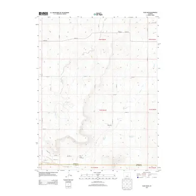
2013 Map of Bijou Basin
USGS Topo · Published 2013About this map
Bijou Basin marks the high plains intersection of El Paso and Elbert Counties, where a network of seasonal drainage and ranching infrastructure defines the landscape. For genealogists and local historians, the map is remarkably specific, identifying isolated memorial sites such as the Roehling Grave and the Silva Ranch Cem near the southern boundary. These small, family-linked landmarks, along with the Bijou Basin Cem, suggest a history of early homesteading and localized settlement away from major population centers.
Find a feature on this map
34 named features on this map. Tap any name to fly to it.
Don’t see what you’re looking for? This feature index may not catch every label — zoom into the map to look around manually.
Map Details
Editions of this 2013 Bijou Basin Map
This is the sole edition of this map. No revisions or reprints were ever made.
Other maps of this area
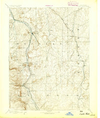
1894 · Castle Rock
USGS Topo · 1:125,000
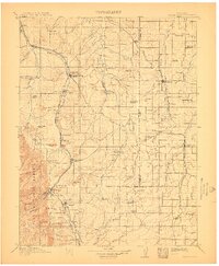
1913 · Castle Rock
USGS Topo · 1:125,000
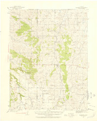
1939 · Elizabeth
USGS Topo · 1:62,500
1940 · Elbert
USGS Topo · 1:62,500
1944 · Elbert
USGS Topo · 1:62,500
1945 · Elizabeth
USGS Topo · 1:62,500
1953 · Denver
USGS Topo · 1:250,000
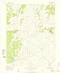
1954 · Eastonville
USGS Topo · 1:24,000
1957 · Denver
USGS Topo · 1:250,000
1958 · Denver
USGS Topo · 1:250,000