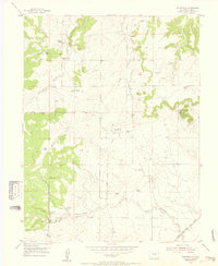
1954 Map of Eastonville
USGS Topo · Published 1955About this map
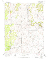
Eastonville sits as a central settlement in this mid-1950s survey of El Paso County, characterized by a transition from the dense woodlands of the Black Forest to open ranching country. The map documents a landscape shaped by transportation shifts, most notably the long Old Railroad Grade and the Chicago Rock Island and Pacific line in the southeast corner. Local genealogy and land use are evident through several named estates, including Pine Park Ranch, Pine View Ranch, and Ayer Ranch, while the Eastonville Cemetery serves as a fixed point of community history.
Find a feature on this map
19 named features on this map. Tap any name to fly to it.
Don’t see what you’re looking for? This feature index may not catch every label — zoom into the map to look around manually.
Map Details
Editions of this 1954 Eastonville Map
6 editions found
Other maps of this area

1893 · Big Springs
USGS Topo · 1:125,000

1893 · Colorado Springs
USGS Topo · 1:125,000

1894 · Castle Rock
USGS Topo · 1:125,000

1909 · Colorado Springs
USGS Topo · 1:125,000

1913 · Castle Rock
USGS Topo · 1:125,000

1940 · Elbert
USGS Topo · 1:62,500

1942 · Colorado Springs
USGS Topo · 1:125,000

1944 · Elbert
USGS Topo · 1:62,500

1948 · Falcon
USGS Topo · 1:24,000

1948 · Falcon
USGS Topo · 1:62,500