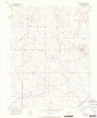
1954 Map of Eastonville
USGS Topo · Published 1963About this map
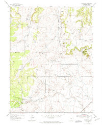
Kiowa Creek and its various branches, including West Kiowa Creek and Cantrell Creek, define the drainage patterns of this high plains landscape north of Colorado Springs. The map reveals an area transitioning from its earlier transport roots, marked by the prominent Old Railroad Grade that winds through the center, toward a more modern ranching and rural residential character. Local landmarks like Rattlesnake Butte and the Black Forest margin provide geological context to a region punctuated by numerous windmills, essential for the livestock operations at Pine Park Ranch and Pine View Ranch. Genealogists may find particular interest in the Eastonville Cem, located near the former path of the rail line, while the southeastern corner shows the active tracks of the Chicago Rock Island and Pacific railroad.
Find a feature on this map
17 named features on this map. Tap any name to fly to it.
Don’t see what you’re looking for? This feature index may not catch every label — zoom into the map to look around manually.
Map Details
Editions of this 1954 Eastonville Map
6 editions found
Other maps of this area

1893 · Big Springs
USGS Topo · 1:125,000

1893 · Colorado Springs
USGS Topo · 1:125,000

1894 · Castle Rock
USGS Topo · 1:125,000

1909 · Colorado Springs
USGS Topo · 1:125,000

1913 · Castle Rock
USGS Topo · 1:125,000

1940 · Elbert
USGS Topo · 1:62,500

1942 · Colorado Springs
USGS Topo · 1:125,000

1944 · Elbert
USGS Topo · 1:62,500

1948 · Falcon
USGS Topo · 1:24,000

1948 · Falcon
USGS Topo · 1:62,500