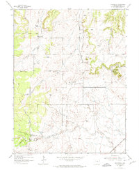
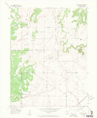
1954 Map of Eastonville
USGS Topo · Published 1975About this map
Kiowa Creek and Black Squirrel Creek drain this High Plains landscape in El Paso County during the mid-1950s. The settlement of Eastonville serves as a focal point in an area dominated by cattle ranching and early transportation corridors. The map documents several named family operations, including the Pine Park Ranch, Pine View Ranch, and Ayer Ranch, illustrating the agricultural character of the region.
Find a feature on this map
14 named features on this map. Tap any name to fly to it.
Don’t see what you’re looking for? This feature index may not catch every label — zoom into the map to look around manually.
Map Details
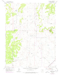
Editions of this 1954 Eastonville Map
6 editions found
Other maps of this area

1893 · Big Springs
USGS Topo · 1:125,000

1893 · Colorado Springs
USGS Topo · 1:125,000

1894 · Castle Rock
USGS Topo · 1:125,000

1909 · Colorado Springs
USGS Topo · 1:125,000

1913 · Castle Rock
USGS Topo · 1:125,000

1940 · Elbert
USGS Topo · 1:62,500

1942 · Colorado Springs
USGS Topo · 1:125,000

1944 · Elbert
USGS Topo · 1:62,500

1948 · Falcon
USGS Topo · 1:24,000

1948 · Falcon
USGS Topo · 1:62,500