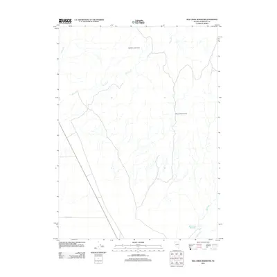
2011 Map of Bilk Creek Reservoir
USGS Topo · Published 2011About this map
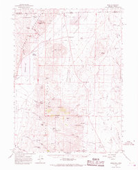
Bilk Creek Reservoir anchors the southeastern corner of this high-desert landscape in Humboldt County. The terrain is defined by the sharp rise of the Bilk Creek Mountains and the drainage network of Deep Creek and Mud Creek. These seasonal watercourses carve through the arid basin, illustrating the hydrologic patterns essential to life and ranching in northern Nevada. The presence of the Split Mountain Cairn suggests a legacy of early land surveying and navigation across this open country. Human activity is sparse, marked primarily by the path of Craig Moore Rd, which provides access through the sagebrush flats toward the foothills. This 2011 survey captures the area’s enduring character as an expansive range, where geography remains the primary influence on movement and settlement.
Find a feature on this map
7 named features on this map. Tap any name to fly to it.
Don’t see what you’re looking for? This feature index may not catch every label — zoom into the map to look around manually.
Map Details
Editions of this 2011 Bilk Creek Reservoir Map
This is the sole edition of this map. No revisions or reprints were ever made.
Other maps of this area

1886 · Disaster
USGS Topo · 1:250,000

1893 · Disaster
USGS Topo · 1:250,000

1954 · Vya
USGS Topo · 1:250,000

1958 · Vya
USGS Topo · 1:250,000
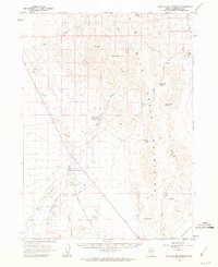
1961 · Quinn River Crossing
USGS Topo · 1:62,500
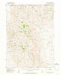
1961 · Trident Peak
USGS Topo · 1:62,500

1962 · Vya
USGS Topo · 1:250,000
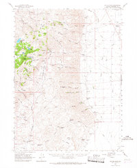
1965 · Duffer Peak
USGS Topo · 1:62,500
1966 · Denio
USGS Topo · 1:62,500
1979 · Denio
USGS Topo · 1:100,000