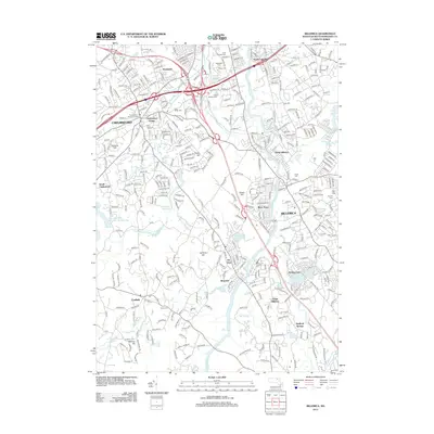
2012 Map of Billerica
USGS Topo · Published 2012About this map
Chelmsford and Billerica anchor this 2012 survey, which details a landscape where suburban growth meets preserved early American history. The Concord River winds through the center of the sheet, connecting neighborhoods like River Pines and Riverside while passing beneath modern highway corridors. Significant local history is preserved in sites like the Forefathers Burying Ground in Chelmsford Center and the extensive Edson Cem near South Lowell.
Find a feature on this map
352 named features on this map. Tap any name to fly to it.
Don’t see what you’re looking for? This feature index may not catch every label — zoom into the map to look around manually.
Map Details
Editions of this 2012 Billerica Map
This is the sole edition of this map. No revisions or reprints were ever made.
Other maps of this area

1886 · Lawrence
USGS Topo · 1:62,500

1886 · Lowell
USGS Topo · 1:62,500

1886 · Framingham
USGS Topo · 1:62,500

1888 · Lawrence
USGS Topo · 1:62,500

1889 · Framingham
USGS Topo · 1:62,500

1893 · Lowell
USGS Topo · 1:62,500

1893 · Boston
USGS Topo · 1:62,500

1893 · Lawrence
USGS Topo · 1:62,500

1894 · Framingham
USGS Topo · 1:62,500

1903 · Boston
USGS Topo · 1:62,500