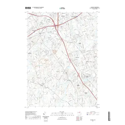
2021 Map of Billerica
USGS Topo · Published 2021About this map
Lowell and its southern suburbs sit at the convergence of historic industry and modern preservation in this detailed survey of Middlesex County. The landscape is defined by the winding course of the Concord River, which flows past settlements like North Billerica and South Billerica. Extensive wetlands such as River Meadow Swamp, Tophet Swamp, and the Great Meadows illustrate the complex hydrology of the region, interspersed with several prominent rises including Robbins Hill and Gilson Hill.
Find a feature on this map
64 named features on this map. Tap any name to fly to it.
Don’t see what you’re looking for? This feature index may not catch every label — zoom into the map to look around manually.
Map Details
Editions of this 2021 Billerica Map
This is the sole edition of this map. No revisions or reprints were ever made.
Other maps of this area

1886 · Lawrence
USGS Topo · 1:62,500

1886 · Lowell
USGS Topo · 1:62,500

1886 · Framingham
USGS Topo · 1:62,500

1888 · Lawrence
USGS Topo · 1:62,500

1889 · Framingham
USGS Topo · 1:62,500

1893 · Lowell
USGS Topo · 1:62,500

1893 · Boston
USGS Topo · 1:62,500

1893 · Lawrence
USGS Topo · 1:62,500

1894 · Framingham
USGS Topo · 1:62,500

1903 · Boston
USGS Topo · 1:62,500