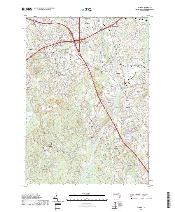
2024 Map of Billerica
USGS Topo · Published 2024About this map
The Concord River corridor defines the geography of this Middlesex County region, winding through protected lands and historic town centers. Broad conservation areas such as the Great Meadows National Wildlife Refuge and the Sudbury Assabet and Concord Wild and Scenic River preserve a dense network of wetlands, including River Meadow Swamp and Tophet Swamp. These marshes contrast with the established residential and industrial clusters of Billerica and Chelmsford.
Find a feature on this map
63 named features on this map. Tap any name to fly to it.
Don’t see what you’re looking for? This feature index may not catch every label — zoom into the map to look around manually.
Map Details
Editions of this 2024 Billerica Map
This is the sole edition of this map. No revisions or reprints were ever made.
Other maps of this area

1886 · Lawrence
USGS Topo · 1:62,500

1886 · Lowell
USGS Topo · 1:62,500

1886 · Framingham
USGS Topo · 1:62,500

1888 · Lawrence
USGS Topo · 1:62,500

1889 · Framingham
USGS Topo · 1:62,500

1893 · Lowell
USGS Topo · 1:62,500

1893 · Boston
USGS Topo · 1:62,500

1893 · Lawrence
USGS Topo · 1:62,500

1894 · Framingham
USGS Topo · 1:62,500

1903 · Boston
USGS Topo · 1:62,500