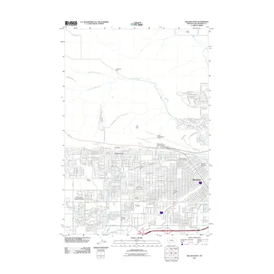
2011 Map of Billings West
USGS Topo · Published 2011About this map
The Rimrocks sandstone cliffs define the northern edge of Billings, separating the growing residential grid from the open ranch lands above. This topographic record documents the complex urban layout of Montana's largest city, including the expansive campus of Montana State University-Billings and several major municipal fire stations. The landscape transitions from the dense street network below the bluffs to the higher plateaus where the Logan International Airport sits atop the rim.
Find a feature on this map
33 named features on this map. Tap any name to fly to it.
Don’t see what you’re looking for? This feature index may not catch every label — zoom into the map to look around manually.
Map Details
Editions of this 2011 Billings West Map
This is the sole edition of this map. No revisions or reprints were ever made.
Other maps of this area

1893 · Huntley
USGS Topo · 1:125,000

1954 · Billings
USGS Topo · 1:250,000

1956 · Rattlesnake Butte
USGS Topo · 1:24,000

1956 · Acton
USGS Topo · 1:24,000

1956 · Hickson Ranch
USGS Topo · 1:24,000

1956 · Rimrock
USGS Topo · 1:24,000

1956 · Yegen
USGS Topo · 1:24,000

1956 · Billings East
USGS Topo · 1:24,000

1956 · Mossmain
USGS Topo · 1:24,000

1957 · Billings
USGS Topo · 1:250,000