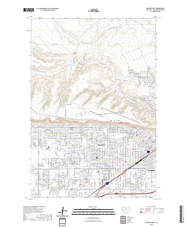
2024 Map of Billings West
USGS Topo · Published 2024About this map
Billings is defined by its dramatic topography, where the urban grid meets the striking sandstone formations of the Rimrocks. This contemporary survey illustrates the complex water management system essential to the Yellowstone Valley, featuring an intricate network of irrigation channels including the Billings Bench Water Association Canal, Big Ditch, and High Ditch. These waterways navigate the elevation changes between the northern plateaus, marked by Ninemile Hill, and the developed city center.
Find a feature on this map
45 named features on this map. Tap any name to fly to it.
Don’t see what you’re looking for? This feature index may not catch every label — zoom into the map to look around manually.
Map Details
Editions of this 2024 Billings West Map
This is the sole edition of this map. No revisions or reprints were ever made.
Other maps of this area

1893 · Huntley
USGS Topo · 1:125,000

1954 · Billings
USGS Topo · 1:250,000

1956 · Rattlesnake Butte
USGS Topo · 1:24,000

1956 · Acton
USGS Topo · 1:24,000

1956 · Hickson Ranch
USGS Topo · 1:24,000

1956 · Rimrock
USGS Topo · 1:24,000

1956 · Yegen
USGS Topo · 1:24,000

1956 · Billings East
USGS Topo · 1:24,000

1956 · Mossmain
USGS Topo · 1:24,000

1957 · Billings
USGS Topo · 1:250,000