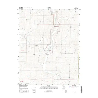
2015 Map of Billmore
USGS Topo · Published 2015About this map
The Eleven Point River carves a significant path through the heart of the Mark Twain National Forest, defining the rugged topography of this Missouri-Arkansas borderland. This area is characterized by an intricate network of hollows and springs, such as Kimes Hollow and Mud Spring, which feed into the main river system. The settlement of Billmore sits centrally near Frederick Creek, while smaller communities like Calm and Griswold anchor the eastern and southern reaches of the map. Genealogical interests are served by the presence of Pleasant Hill Cemetery and Mount Carmel Cemetery, which mark the early social centers of these dispersed rural townships. Distinctive geological features like The Narrows demonstrate how the river has shaped the landscape over time, creating narrow passages between the steep hills of Oregon County.
Find a feature on this map
64 named features on this map. Tap any name to fly to it.
Don’t see what you’re looking for? This feature index may not catch every label — zoom into the map to look around manually.
Map Details
Editions of this 2015 Billmore Map
This is the sole edition of this map. No revisions or reprints were ever made.
Other maps of this area
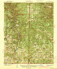
1941 · Gatewood
USGS Topo · 1:62,500
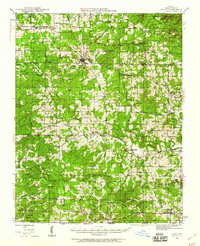
1944 · Couch
USGS Topo · 1:62,500
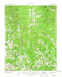
1945 · Gatewood
USGS Topo · 1:62,500
1946 · Couch
USGS Topo · 1:62,500

1957 · Poplar Bluff
USGS Topo · 1:250,000
1959 · Poplar Bluff
USGS Topo · 1:250,000
1960 · Poplar Bluff
USGS Topo · 1:250,000
1965 · Riverton
USGS Topo · 1:24,000
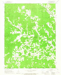
1965 · Gatewood
USGS Topo · 1:24,000
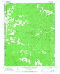
1965 · Bardley
USGS Topo · 1:24,000