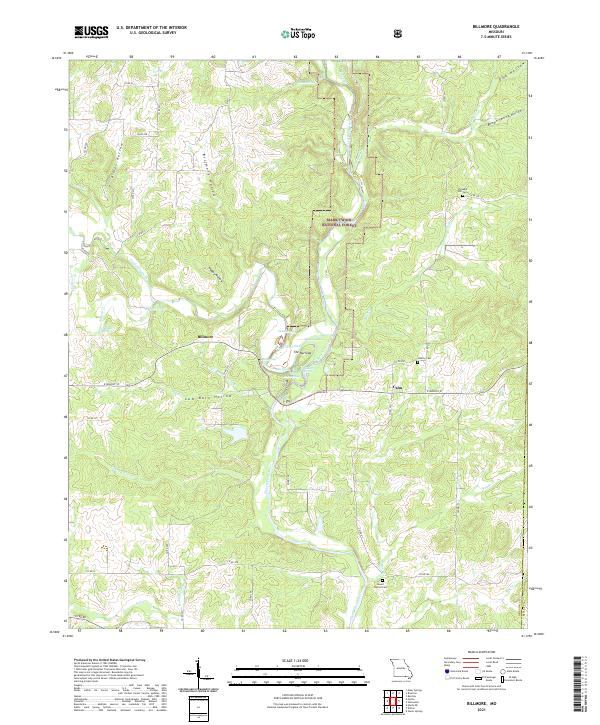
2021 Map of Billmore
USGS Topo · Published 2021About this map
The Eleven Point Wild and Scenic River snakes through this portion of the Ozarks, carving a deep corridor through the Mark Twain National Forest. This protected riparian landscape is defined by its numerous water sources, including Blue Spring, Morgan Spring, and Caldwell Spring, which feed into the primary river system. The terrain is a complex network of ridges and hollows, with named landforms such as Kimes Hollow and Brown Spring Hollow shaping the drainage patterns toward Frederick Creek.
Find a feature on this map
66 named features on this map. Tap any name to fly to it.
Don’t see what you’re looking for? This feature index may not catch every label — zoom into the map to look around manually.
Map Details
Editions of this 2021 Billmore Map
This is the sole edition of this map. No revisions or reprints were ever made.
Other maps of this area

1941 · Gatewood
USGS Topo · 1:62,500

1944 · Couch
USGS Topo · 1:62,500

1945 · Gatewood
USGS Topo · 1:62,500

1946 · Couch
USGS Topo · 1:62,500

1957 · Poplar Bluff
USGS Topo · 1:250,000

1959 · Poplar Bluff
USGS Topo · 1:250,000

1960 · Poplar Bluff
USGS Topo · 1:250,000
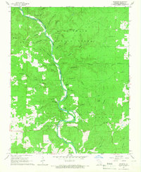
1965 · Riverton
USGS Topo · 1:24,000

1965 · Gatewood
USGS Topo · 1:24,000
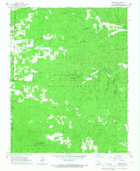
1965 · Bardley
USGS Topo · 1:24,000